MAP+ Geoportals
MAP+ Geoportals, built on open-source technologies and open geospatial standards, integrate a wide range of GIS services and data sources into a unified, user-friendly interface. Powerful tools for visualization, analysis, search, as well as interactive measuring, drawing, and editing support both GIS professionals and occasional users in the effective analysis and use of spatial information.
NEWS
OpenData Update
Since December we were working on a major update of our complete data offering which included new graphics, new processes and new powerful servers with high speed NVMe SDD disks. This has speed up daily updates of surveying by factor five!

33 years TYDAC
It has been 33 years since TYDAC was founded. And it has been eight years since our last event for the 25th birthday, not least because of Covid. So it is more than time to get together!

WebGIS RKBM
The Regional Integrated Transport and Settlement Concept (RGSK) 2025 is the development strategy of the Bern-Mittelland region and, as a guideline plan, creates a legally binding basis for the local planning of the 74 RKBM municipalities.
MAP+ Outdoor
MAP+ Outdoor now with wintersport-offers of SwitzerlandMobile: winter hiking, snowshoe trekking, sledging and, cross-country skiing.
GEOPORTALS - LEASURE

Former MAP+ ALPS and MAP+ EUR have been joined into one site: MAP+ EUROPE. This is the most comprehensive collection of geodata about Switzerland and Europe and includes Points of Interest in over 150 categories. Integrated are a search for geodata and maps, Google search, Google StreetView and Route Planner. Unique is also the altitude query at any location. All POI symbols have been recreated as SVG graphics.

hike.mapplus.ch is our outdoor platform for summer and winter and combines data from swisstopo and SwitzerlandMobility: hiking trails and routes, bike, mountain bike and skating routes. Unique is the PDF-report generation, the automatic profile generation and altitude display. In addition you will find supplementary information such as hiking signs, closures, gastronomy, accommodation, etc.


A portal for the canton of Graubünden as a tourist destination. Combines data from swisstopo and SwitzerlandMobile: hiking trails and routes, cycling, mountain biking and skating routes. In addition, complementary information such as hiking signs, closures, gastronomy, accommodations, environmental data, etc. All of this is of course also available in Romansh (beside German, English, Italian and French)!
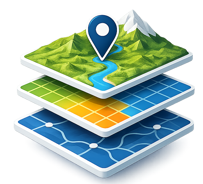

MAP+ 3D is based on services from swisstopo and TYDAC. Any data can be integrated and viewed in a three-dimensional view. With the integrated search you can literally fly over Switzerland ... Buildings, trees, hiking trails, mountain peaks, huts, ski slopes can be displayed and partly also queried.
GEOPORTALS - PROFESSIONAL

In MAP+ Suisse we have put together a unique integration of federal and cantonal data complemted by other sources such as OSM or SwitzerlandMobile. The official cadastral survey of 20 cantons is updated daily. Where the source data is not available, we have extended the cadastral basemap with the geodienste.ch WMS, so that the whole country is now covered. Land register entries can be queried for 15 cantons, and the PLR-cadastres for 17 cantons. In addition, there are about 125 topics on infrastructure, traffic and energy, environment, statistics and a vast number of points of interest. And: under external maps, all web services of geo-admin and cantons can be displayed (around 15'000 geoservices in total!). With the update we have translated MAP+ Suisse to English, French and Italian.

The BGDI (Bundes Geodaten-Infrastruktur = Federal Spatial Data Infrastrcture FSDI) supports the federal offices by setting up WMS services, well over 700. But until now, there was nowhere an overview and an application to view, search, analyze etc. this immense data load. TYDAC has compiled all these services into MAP+ WMS BGDI. The application lists all services subdivided by federal offices and allows the search by keywords - and that in four languages. And: under external maps, all web services of the cantons can be displayed (around 15'000 geoservices in total!).


MAP+ Bern is a localized version that expands MAP+ Suisse with data specific to the canton of Bern. Over 160 topics are integrated. And for Bern, of course, almost 100% bilingual (German and French). Hundreds of web services of the canton can also be viewed using the map services functionality - in addition to the 700 or so of the federal government.


MAP+ Grischa is a localized version that expands MAP+ Suisse with data specific to the canton of the Grisons. Over 160 topics are integrated. All web services of the canton can also be viewed using the map services functionality - in addition to the 700 or so of the federal government. Beside German, we have translated MAP+ Grischa to English, French and Italian.


MAP+ Zurich is a localized version that expands MAP+ Suisse with data specific to the canton of Zurich. Over 130 topics are integrated. The map services functionality can be used externally to call up a vast number of web services of the canton - in addition to the 700 or so of the federal government. In addition, there are sophisticated measuring and drawing tools, Google StreetView and MAP+ 3D integration etc.

With MAP+ modules for basically any kind of application can be developed without programming knowledge. To demonstrate the power of MAP+ V4, we have set up a demo, so that you can test different modules that are otherwise only visible on the intranet. Start the application and click on the 'i' beside 'Examples' for instructions. With the update we have translated the MAP+ V4 Demo site to English, French and Italian.

On September 19, 2002 (!) a TYDAC customer conference took place. Theme was 'Open Source and Open Data'. We were the first to deal with it and have been doing so ever since. The WIKI is a comprehensive compilation of sources and the best place to look for sources. In MAP+ WMS BGDI and MAP+ Suisse (see above) there are up to 16'000 web services viewable (federal and cantonal).
EXCLUSIVE - INTERESTING
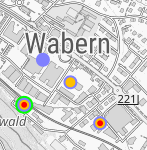
Mobile Cell Sites
Cell sites: 3G, 4G or 5G? How strong are the antennas? Everything at a glance! The data comes from the Federal Office of Communications OFCOM and is updated weekly, therefore always up to date. It is also worth knowing: the individual symbols are composed of up to 124 parts!
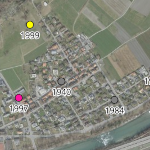
LUBIS: Aerial Images Database
This swisstopo image collection comprises around 500'000 analog aerial photos (color, color infrared or black and white images) and terrestrial images. Around 320'000 images are shown in the form of the image center coordinates, the respective covered floor segment (footprint) and with meta information.
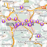
BeerMe Database
The best beer in Bern at the old tram depot. In Poschiavo there are two local beers from Birreria Pacific and Birraria Poschiavina. And in Pontresina an Engadine beer. And that in a database from the USA! In their own words The most complete source of brewery information worldwide (2023: over 30'000 breweries).
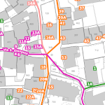
Localization Map
What is a localization map? A localization map shows which addresses belong to which street - not always completely logical or understandable. With MAP+ Suisse you can see it at first glance. The underlaying data is calculated from the official surveying database and is updated daily.
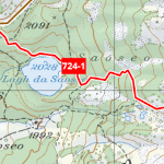
swisstopo Vintage - SwitzerlandMobile
Weren't the old swisstopo maps more beautiful? As far as we know, they are exclusively available on TYDAC sites. If not, certainly exclusive is the combination of swisstopo, SwitzerlandMobility and OSM. On hike.mapplus.ch, profiles can be generated for all types of routes and processed to a PDF along with the map.
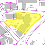
Property Ownership
The majority of cantons has an open data geodata policy. The data of the land register are also public. We have exclusively integrated these data or links to them in MAP+ Suisse for 15 cantons. As a supplement, the PLR-cadastre (public law restrictions on landownership) is also available for 17 cantons.
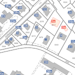
Building and housing register
The Federal Register of Buildings and Apartments (GWR) contains basic data on buildings and apartments. Every building and apartment has a Swiss-wide unique identification number (EGID) as well as its address, municipality, canton. We have enriched the data with the height. The individual addresses are also linked to the official GWR entry.
Heating System
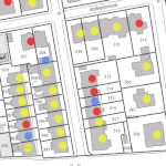
The GWR contains information on construction projects, buildings, apartments, building entrances and streets. The data shows heating system graphically (color) illustrates the energy/heat source of the most powerful heating system. It is important to note the status of the data, some of the data comes from the 2000 census.
Swiss inventory of cultural goods
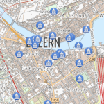
Around 3200 objects (individual buildings, collections in museums, archives and libraries and archaeological objects) are categorised as cultural property of national importance in the 2009 edition of the Inventory.
Inventory of Swiss heritage sites
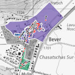
The Inventory of Swiss Heritage Sites (ISOS) designates and documents the most valuable sites of national importance. It makes it possible to understand the history and identity of sites and is thus an important basis for quality settlement development.
Shared Mobility
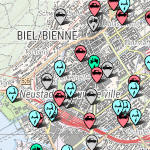
Shared mobility is the shared use of means of transport such as cars, taxis, bikes, scooters, etc. These are then no longer considered private property, but shared property that can be accessed as required.
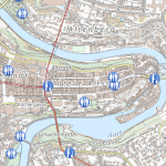
Public Toilets
Did you know that there is a urinal on the side of the world-famous Zytglogge in Bern? The urinoir is not as odorless as described on the old enamel plaque inside. But it is practical. And you can see from the outside whether the three seats are already occupied.
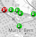
Charging points for electric cars
Electric mobility is a key technology for more sustainable mobility and is one way of achieving ambitious energy and climate policy goals. Electric engines are efficient, and using electricity means that renewable energies can also be used. recharge-my-car.ch shows where charging points for electric vehicles are available in real time.
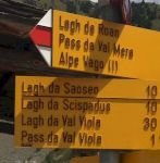
Hiking Signs
A collection of over 14,000 photos of trail signposts. You can also participate yourself by uploading pictures. We would be delighted if you could help complete this collection of trail signposts.